Building in Van Zandt County
Van Zandt County lies on Interstate Highway 20 fifty miles east of Dallas, in the Claypan Area of northeastern Texas. Its center is near Canton, the county seat. The county covers 855 square miles, the Neches River rises in its eastern part, and the Sabine forms part of its northeastern line.
Altitudes range from 421 to 573 feet. The northwest has undulating clayey and loamy soils, the central third has sandy surfaces over mottled clay, and the southeast is gently rolling to hilly with loam over deep reddish clay. The humid subtropical climate brings forty-three inches of rain a year. July temperatures run from 72° to 97° F, and the growing season averages 250 days.
Luiz Ruiz was the first documented settler, and John Jordan opened a post office and salt works at Jordan’s Saline in 1845. The legislature established the county in 1848 from part of Henderson County and named it for Republic of Texas leader Isaac Van Zandt. The seat moved to Canton in 1850, when Wood County was carved out. Subsistence farming and the salt trade made up the early economy.
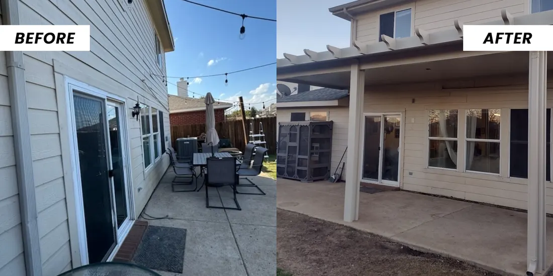
NOAA’s Storm Events Database lists 32 hail reports in Van Zandt County from 2016 to 2025, 25 of them an inch across or larger, with stones up to 3.5 inches. The same records show 40 damaging thunderstorm wind reports, with gusts up to about 85 mph, and 16 tornadoes. That is why a patio cover’s roof panels, fasteners and posts here are chosen for hail and wind, not only for shade.