Family-owned in Texas since 1984Serving homeowners across Dallas–Fort Worth

Outdoor Living in Grayson County, Texas

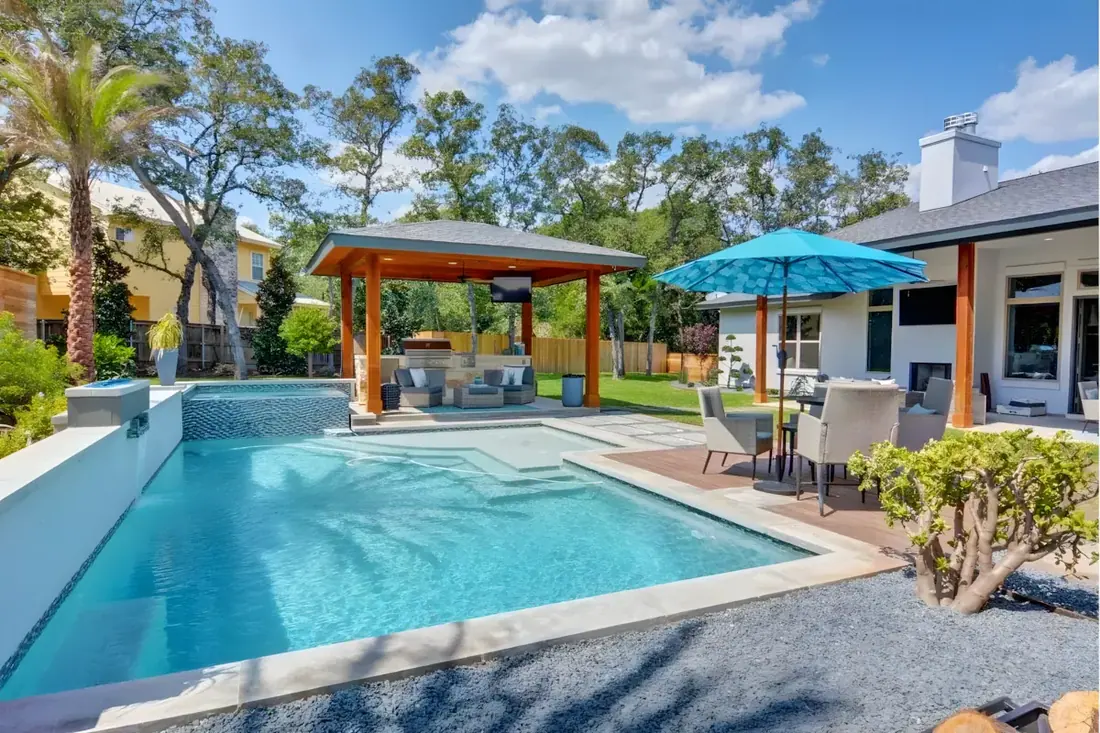
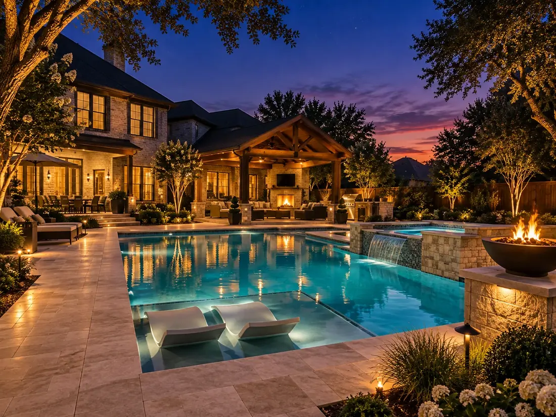
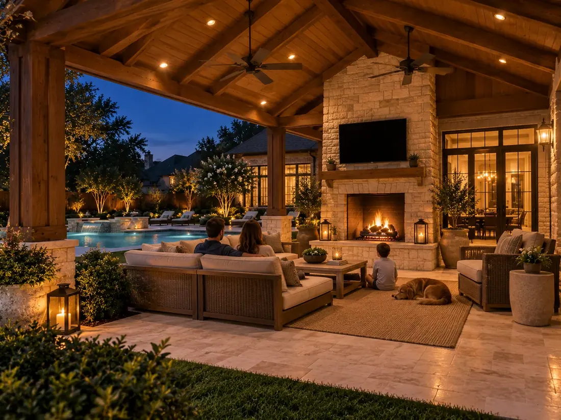
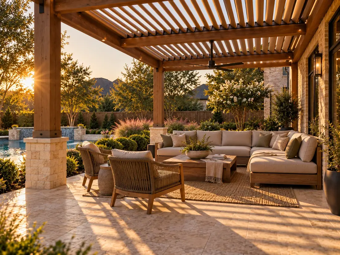
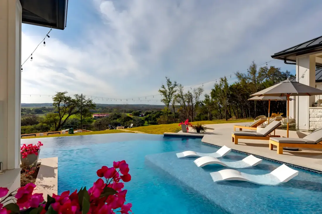
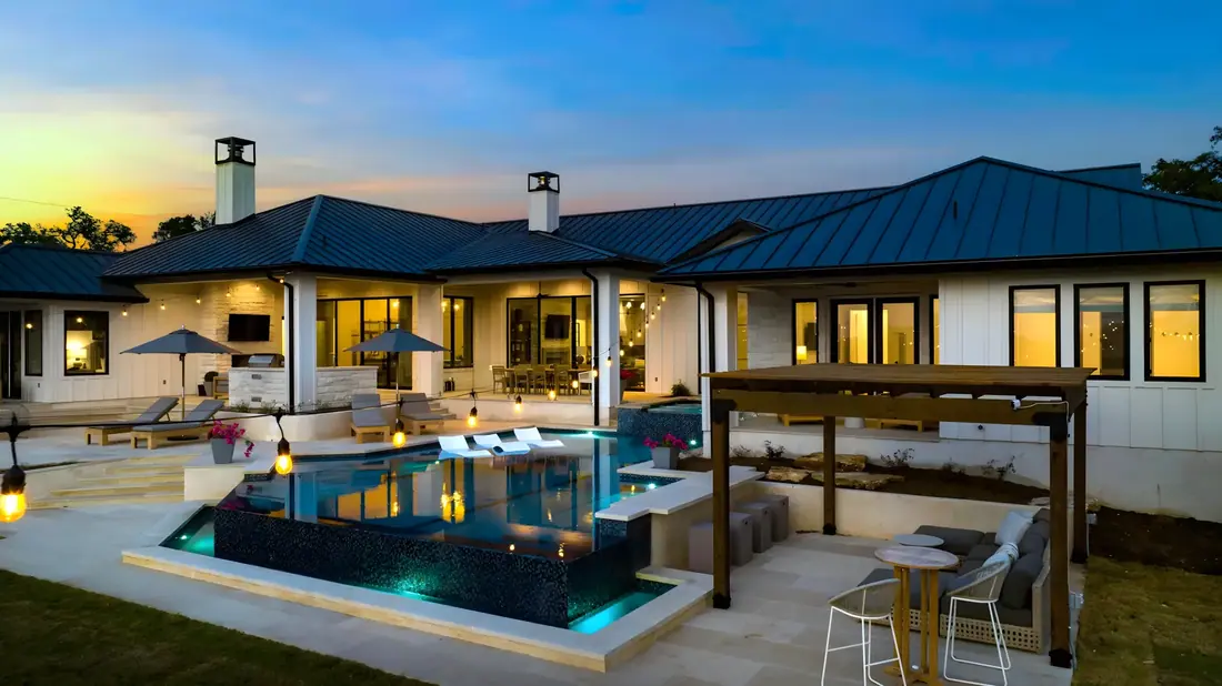
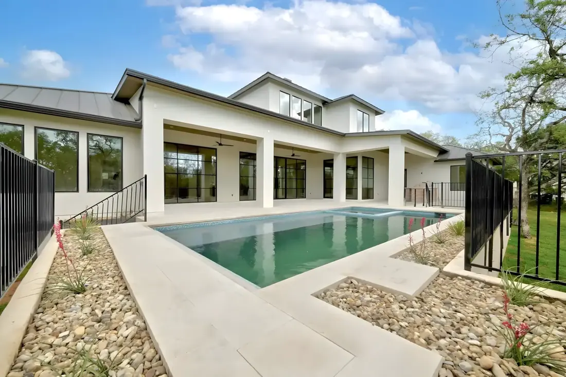
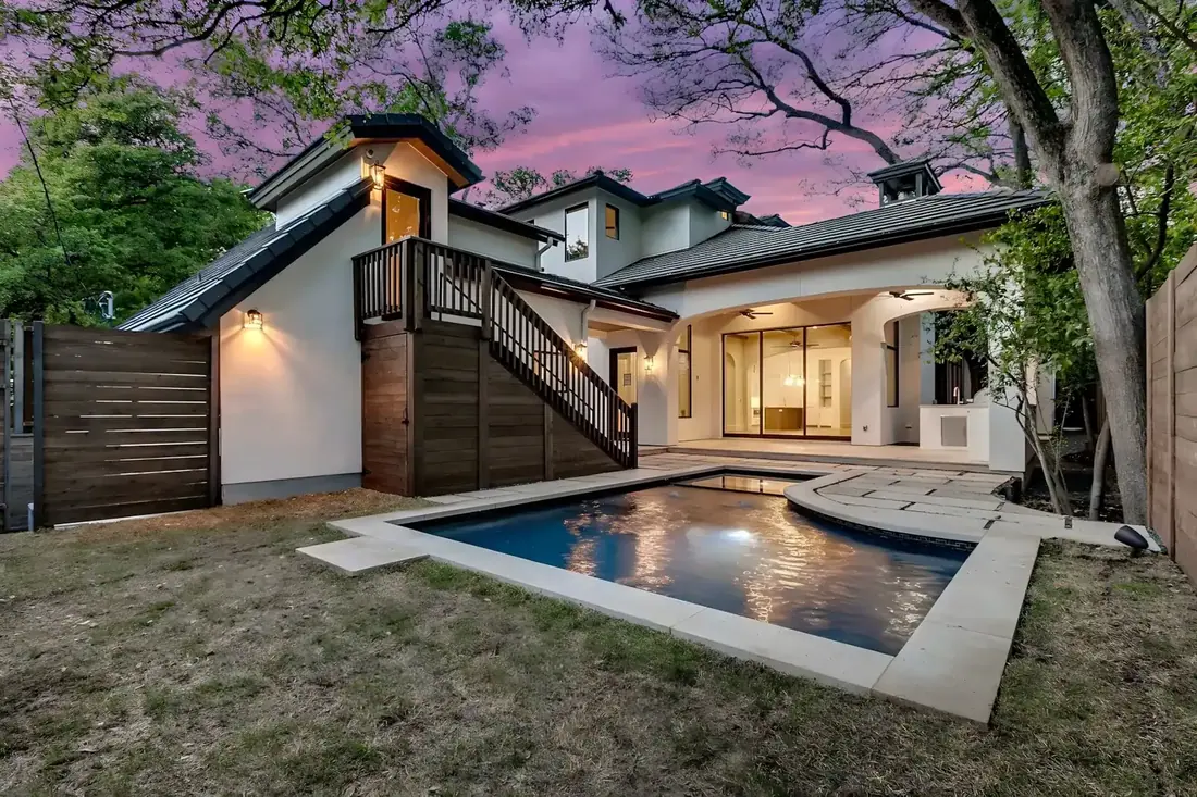
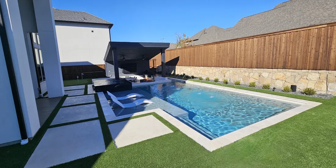
Covered patios, pools, outdoor kitchens, pergolas and stone for homes in 15 Grayson County towns. One family-owned team designs and builds it all, starting with a free design visit.

  • 40+Years in Business
  • 15,000+Projects Completed
  • 1984Family-Owned Since
  • 334Texas Cities Served
EPA Lead-Safe Certified, Qualified Remodeler, Energy Star, NARI, VSI Certified

Building in Grayson County

Grayson County is in north central Texas, bounded by the Red River and by Fannin, Collin, Denton, and Cooke counties. Sherman, the county seat, lies about sixty-five miles north of Dallas and is part of the Sherman-Denison metropolitan area. The county covers 934 square miles.

Terrain is generally level with some low hills, at 600 to 800 feet. The north drains toward Lake Texoma and the Red River and has acidic Post Oak Belt soils with loamy or sandy surfaces, while the south has blackland soils. Precipitation averages thirty-seven inches a year. January lows average 30° F, July highs 96°, and the growing season is 227 days.

Grayson County was marked off from Fannin County on March 17, 1846, and named for Peter W. Grayson, attorney general of the Republic of Texas. The same act named the seat Sherman, after Gen. Sidney Sherman. Sherman became a Butterfield Overland Mail station in 1858. Railroads reached Sherman and Denison in late 1872, and the population jumped from 14,387 in 1870 to 38,108 in 1880. The county grew into a milling and market center but stayed mostly agricultural.

NOAA’s Storm Events Database lists 181 hail reports in Grayson County from 2016 to 2025, 144 of them an inch across or larger, with stones up to 2.5 inches. The same records show 93 damaging thunderstorm wind reports, with gusts up to about 90 mph, and 5 tornadoes. That is why a patio cover’s roof panels, fasteners and posts here are chosen for hail and wind, not only for shade.


Towns we serve in Grayson County

Each of these has its own page, with local facts, ZIP codes and the questions homeowners there ask.

Smaller communities in Grayson County

Bells, TX

Bells is on U.S. Highway 82, ten miles east of Sherman in east central Grayson County. The town grew up south of the railroad after the Texas and Pacific and the Missouri, Kansas and Texas arrived in the early 1870s. Daniel Dugan settled in the area in 1835, and the community was called Dugansville from 1871 to 1878. It was renamed Bells in 1879, perhaps for the area churches, and incorporated in 1881. Water comes from the City of Bells, which draws on groundwater. NOAA lists 6 hail reports filed at Bells from 2016 to 2025.

Collinsville, TX

Collinsville is on U.S. Highway 377 eighteen miles southwest of Sherman in southwestern Grayson County. The community was first called Springville, and Joshua Miller donated the land for its townsite. Anglo-American settlers arrived in the late 1850s. After the Civil War L. M. Collins and her two sons came from Ann Arbor, Michigan, and opened what many believe was the first free school in North Texas. The Texas and Pacific Railway arrived in 1881. Water comes from the City of Collinsville, which draws on groundwater. NOAA lists 7 hail reports filed at Collinsville from 2016 to 2025.

Gordonville, TX

Gordonville is on Farm Road 901 and the shores of Lake Texoma, twelve miles north of Whitesboro in the northwest corner of Grayson County. The site was part of Holford’s sheep ranch until 1872. Mark Clayton chose the site for his general store in 1872. The post office, one of the oldest in the county, was named for Capt. Silas M. Gordon, treasurer to William Clarke Quantrill, who stayed on to run a trading post. Water comes from Northwest Grayson County WCID 1, a water control and improvement district, which draws on groundwater. NOAA lists 7 hail reports filed at Gordonville from 2016 to 2025.

Gunter, TX

Gunter is at the intersection of State Highway 289 and Farm Road 121, twelve miles southwest of Sherman in south central Grayson County. The southern part of the county drains to tributaries of the Trinity River. One of the later towns in Grayson County, Gunter received a post office in 1898 and was organized in 1902 when the St. Louis, San Francisco and Texas Railway arrived. Cattleman and surveyor John Gunter donated the townsite. NOAA lists 5 hail reports filed at Gunter from 2016 to 2025.

Howe, TX

Howe sits where U.S. Highway 75, State Highway 5, and Farm Road 902 meet, on the Southern Pacific line ten miles south of Sherman in southern Grayson County. The railroad switch here, at 810 feet above sea level, was first called Summit. Jabes and Harriet Haning and Jabes’s brother John came from Pennsylvania before 1850 on Peters colony land. The Houston and Texas Central Railway built through in 1873, and in 1876 the depot was renamed for railroad man F. M. Howe. Water comes from the City of Howe, which treats surface water. NOAA lists 5 hail reports filed at Howe from 2016 to 2025.

Pottsboro, TX

Pottsboro is on Farm Road 120 eight miles northwest of Sherman in north central Grayson County. This part of the county drains toward Lake Texoma and the Red River. Pottsboro was established in 1876 by pioneer settler James A. Potts, who donated land for a town and a right-of-way so the Missouri, Kansas and Texas would extend its tracks west from Denison. It incorporated in 1880. Water comes from the City of Pottsboro, which treats surface water. NOAA lists 5 hail reports filed at Pottsboro from 2016 to 2025.

Sadler, TX

Sadler is on U.S. Highway 82, Farm Road 901, and the Missouri, Kansas and Texas tracks, twelve miles northwest of Sherman in west central Grayson County. Landowner John Sadler donated land for a railroad right-of-way to bring the tracks to the settlement. A. J. Cross settled the area in 1869 and was soon joined by pioneers such as Zeke Hall and Jim Beach. The community developed around 1878 and carries John Sadler’s name. A post office opened in 1892. Water comes from the City of Sadler, which draws on groundwater. NOAA lists 9 hail reports filed at Sadler from 2016 to 2025.

Southmayd, TX

Southmayd is on State Highway 56 seven miles west of Sherman in central Grayson County. Grayson County is drained principally by Choctaw Creek and its two main tributaries, Post Oak and Iron Ore creeks. The community grew up where the Texas and Pacific Railway crossed land granted to D. S. Southmayd, its namesake. By 1881 its first business, a general merchandise store, had opened, along with a post office. Water comes from the City of Southmayd, which draws on groundwater. NOAA lists 7 hail reports filed at Southmayd from 2016 to 2025.

Tioga, TX

Tioga is on U.S. Highway 377 twenty miles southwest of Sherman, in the southwest corner of Grayson County. In 1884 a blacksmith named Matt Rains found what he believed were medicinal qualities in the local well water. Tioga was founded in 1881 when the Texas and Pacific Railway reached the site. The crew drew water from the local well and named the place Tioga, a New York Indian word said to mean swift current. Water comes from the City of Tioga, which draws on groundwater. NOAA lists 7 hail reports filed at Tioga from 2016 to 2025.

Tom Bean, TX

Tom Bean is on State Highway 11 and Farm roads 902 and 2729, ten miles southeast of Sherman in southeastern Grayson County. Surveyor Tom Bean donated a fifty-acre tract for the townsite and the railroad right-of-way. The town was established in 1888 as a stop on the St. Louis Southwestern Railway, and a post office opened that year. The railroad drew settlers and businesses from the nearby community of White Mound. Water comes from the City of Tom Bean, which draws on groundwater. NOAA lists 8 hail reports filed at Tom Bean from 2016 to 2025.

Whitesboro, TX

Whitesboro is on State Highway 56, U.S. highways 377 and 82, and State Highway Loop 441, fifteen miles west of Sherman in extreme west central Grayson County. Before the settlement grew, the area was known as Wolfpath. Ambrose B. White’s arrival in 1848 marked the start of the settlement, and his Westview Inn served the Butterfield Overland Mail from 1858 to 1861. The Missouri, Kansas and Texas Railroad reached the town from Denison in 1879. Water comes from the City of Whitesboro, which draws on groundwater. NOAA lists 6 hail reports filed at Whitesboro from 2016 to 2025.

Whitewright, TX

Whitewright is on State highways 11 and 160, twelve miles southeast of Sherman in extreme eastern Grayson County. The town lies in what may be the richest farmland in the county, where farmers grew cotton, wheat and corn. New York investor William Whitewright founded the town in 1878, buying land in the path of the Missouri, Kansas and Texas Railroad and having it surveyed as a townsite. His agents, Jim Reeves and Jim Batsell, sold the lots. Water comes from the City of Whitewright, which draws on groundwater. NOAA lists 1 hail report filed at Whitewright from 2016 to 2025.

What we build across Grayson County

See everything we build for outdoor living.

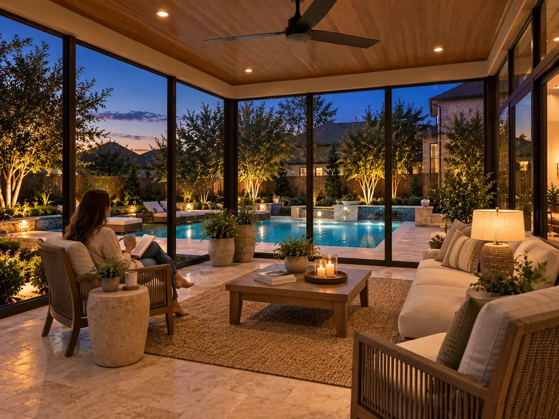
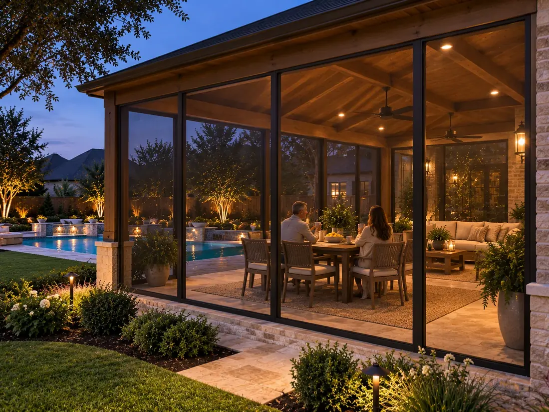
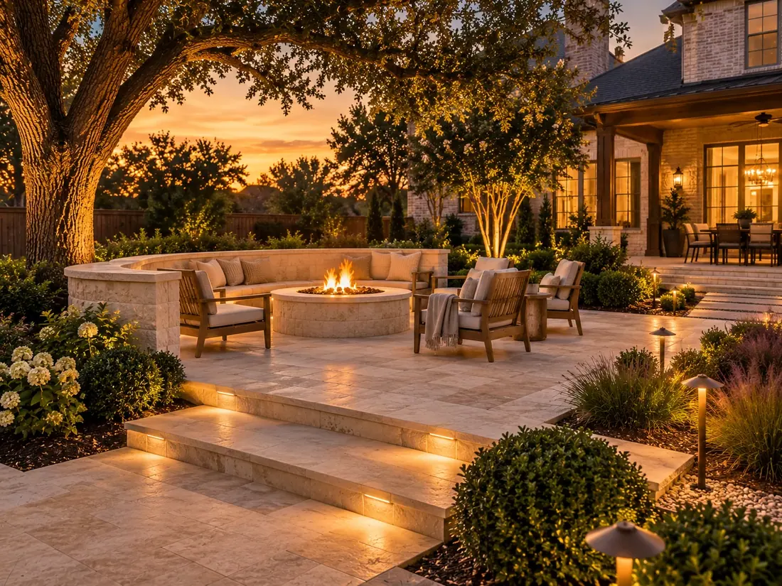
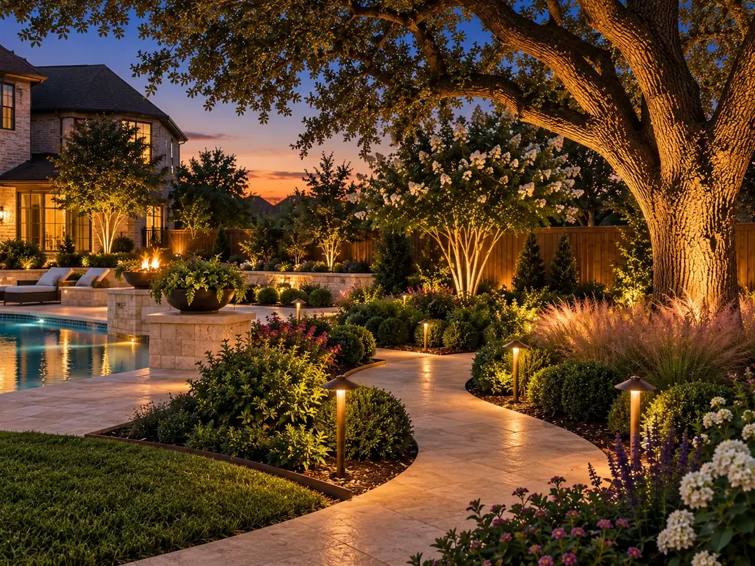
Outdoor living ideas for Grayson County homes

See the full gallery

Grayson County outdoor living questions

We build outdoor living across Grayson County, including Bells, Collinsville, Denison, Gordonville, Gunter, Howe, Pottsboro, Sadler, Sherman, Southmayd, Tioga, Tom Bean, Van Alstyne, Whitesboro and Whitewright.

Inside a town’s limits, that town’s own office reviews the permit. Outside town limits, Grayson County rules apply. We confirm which one covers your address at the design visit, then file the permit and handle the inspections.

The towns we serve in Grayson County sit on Blackland Prairie and Post Oak Belt ground. The ground decides how a slab, a pool shell or a footing has to be built, so the drainage and footings are planned for it at the first visit.

NOAA’s Storm Events Database lists 181 hail reports in Grayson County from 2016 to 2025, with stones up to 2.5 inches. Patio cover roofs, fasteners and posts are chosen with that in mind.

Free design visits in Grayson County

Tell us what you have in mind and we’ll come measure, talk options and give you a straight number. No obligation, no pressure.

Call (972) 534-2716

Get Your Free Quote

4.8 on Google from 22 reviewsFamily-owned since 1984

Please enter your name.
Enter a 10-digit US phone number.
Use 5 digits.
Please enter your street address.
Please choose what you’re planning.
Please choose an image under 8 MB.

Thanks, we’ve got it

Here is what happens next:

  1. We call you within one business day.
  2. Free on-site visit to measure and talk options.
  3. A firm written quote. No obligation.

Need us sooner? Call (972) 534-2716.

Call Get a Free Quote